
24.83°N – 76.34°W
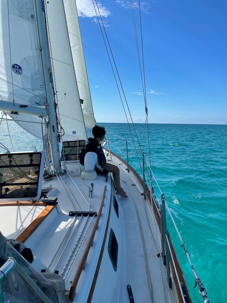
We departed Spanish Wells on January 4th on a lively northwest breeze. At 1000—and with full knowledge that our Raymarine and Navionics charts were “for shit” according to captain Bandit—we sailed out the inlet that ran us aground three weeks earlier. With Joy at the helm, she pointed the bow southwest to avoid shifting sandbars, intent to leave Meeks Patch and its swimming pits to port, on an ideal beam reach. Once past Meeks Patch, she veered further south towards “Current Cut,” a very narrow gap between mainland Eleuthera and Current Island.
Current Cut to Hatchet Bay
Traversing Current Cut presented a navigational challenge for a sailing family that has only known the Great Lakes. Here, as the tide rises, it flows west to east, with a maximum velocity of 10 knts, through a natural channel (a “cut”) which separates the two islands. As the tide ebbs, on the other hand, it flows in the opposite direction at a similar velocity. Therefore, it was critical that we transit Current Cut at high tide.
We arrived on the western edge of Current Cut at 1230. With sails doused and under engine power, we pointed the bow due east through the cut. Immediately, the OG accelerated from 5 knts to 9.5 knts, in conditions that looked and felt like river rapids.

Once through, we high-fived each other and prematurely celebrated our superior navigational skills. East of the cut, however, we met shifting sandbanks that threatened to run us aground, again. Even though the charts implicated 10-12 ft of depth to the east, once again our depth sounder called “bull shit.”
We sailed by braille, trying to “eyeball” shallow sandbanks on our way to deeper water, which we finally found about 3 nm to the east. I suppose that Bandit was right about our charts.
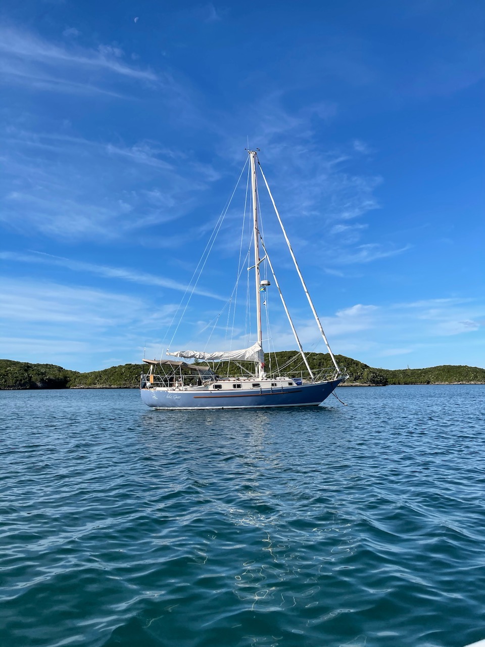
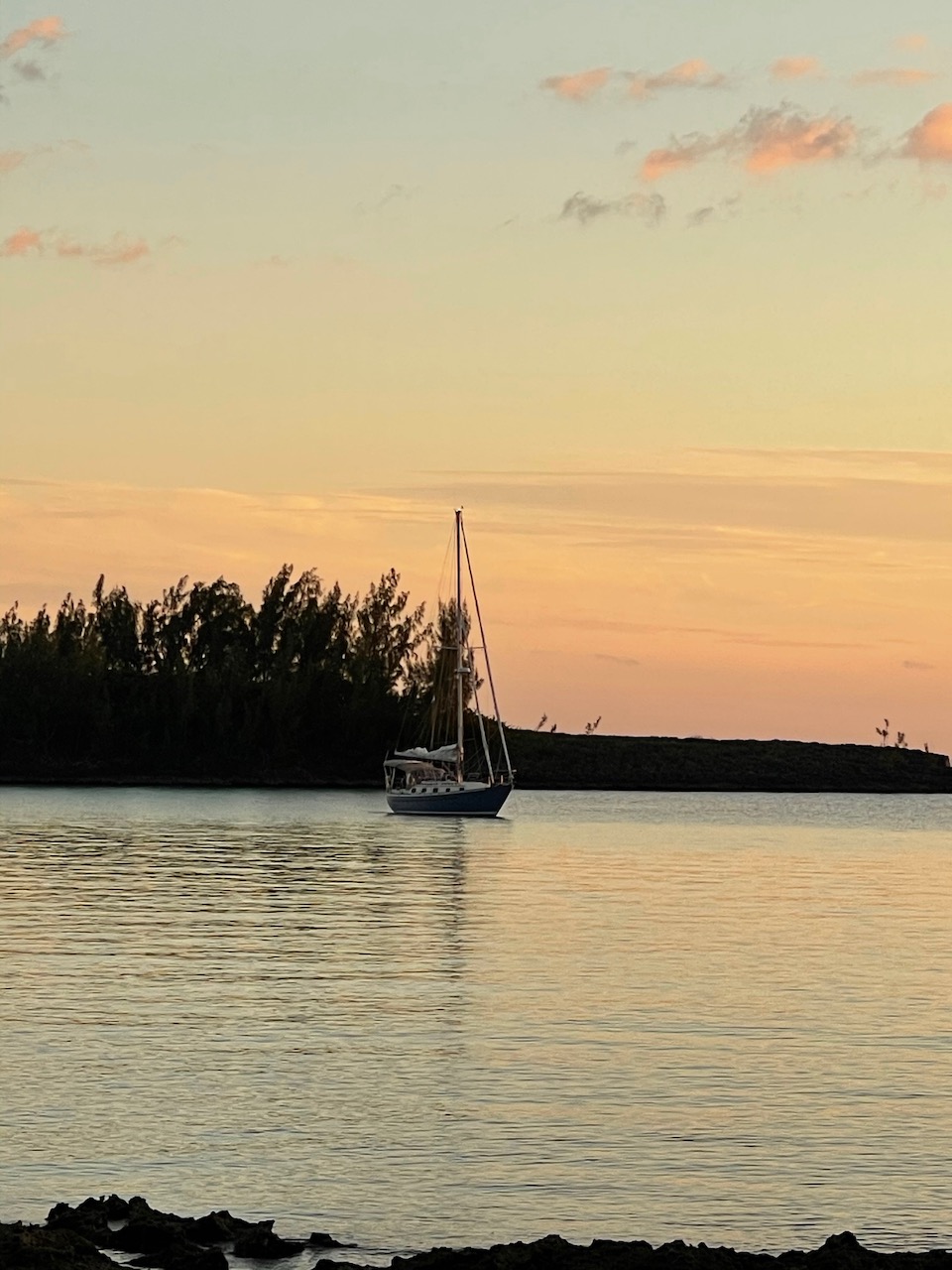
Once in deep water, we sailed another 15 nm eastward, in turquoise-blue water on a gentle broad reach. We finally anchored in Hatchet Bay just before sundown, ready for a celebratory drink and some conch fritters. Hatchet Bay is a well-protected anchorage, with a 30-foot unmarked entrance, carved into granite rock.
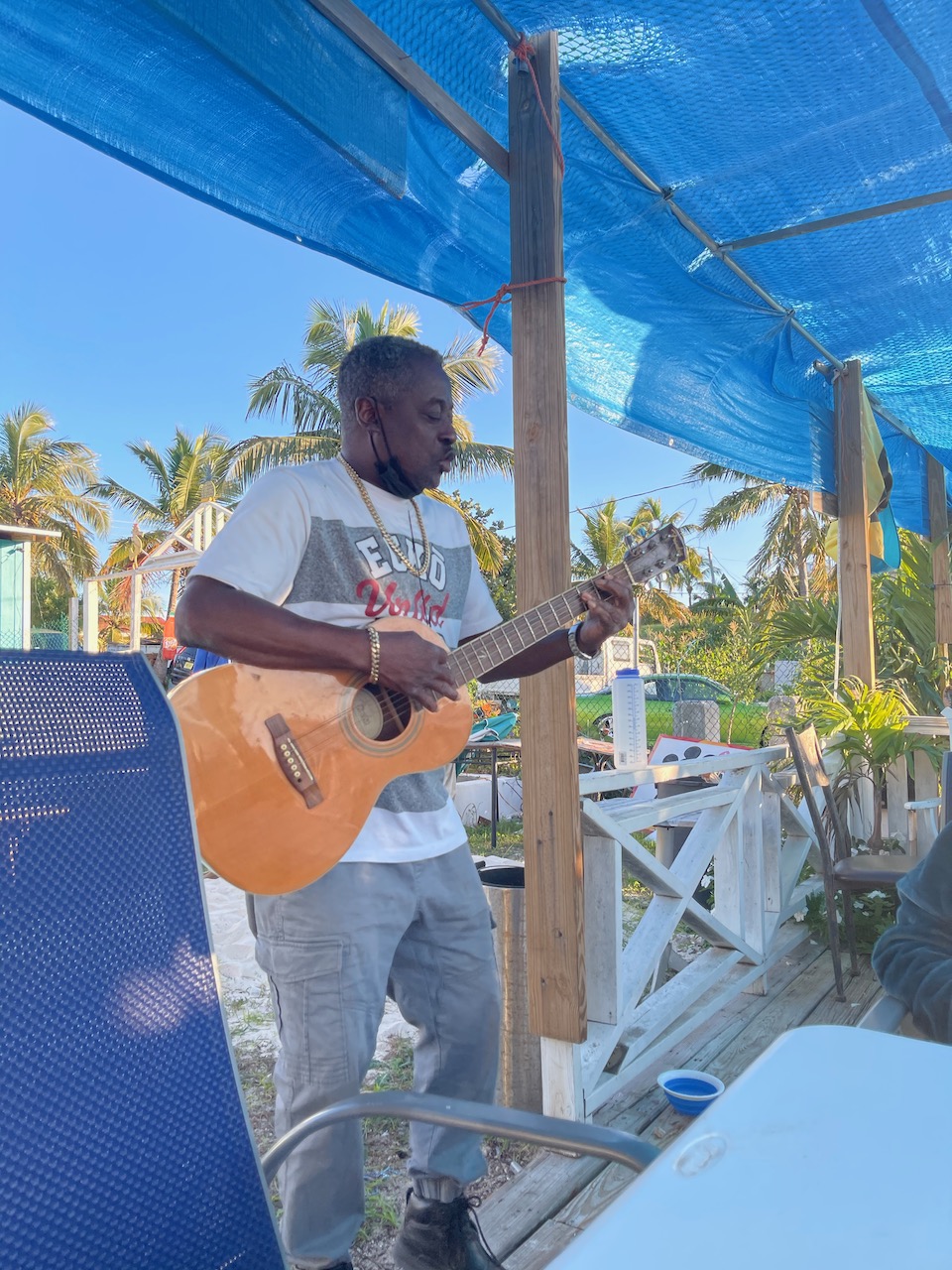
Once the anchor was set, we dinghied into shore, where we met the McGraw family (mentioned in the previous post) for dinner and drinks at “The Boaters Haven.” There, the restaurant owner, Emmitt, sang Bob Marley songs, in addition to his own, to keep us entertained while his son fried up some chicken.
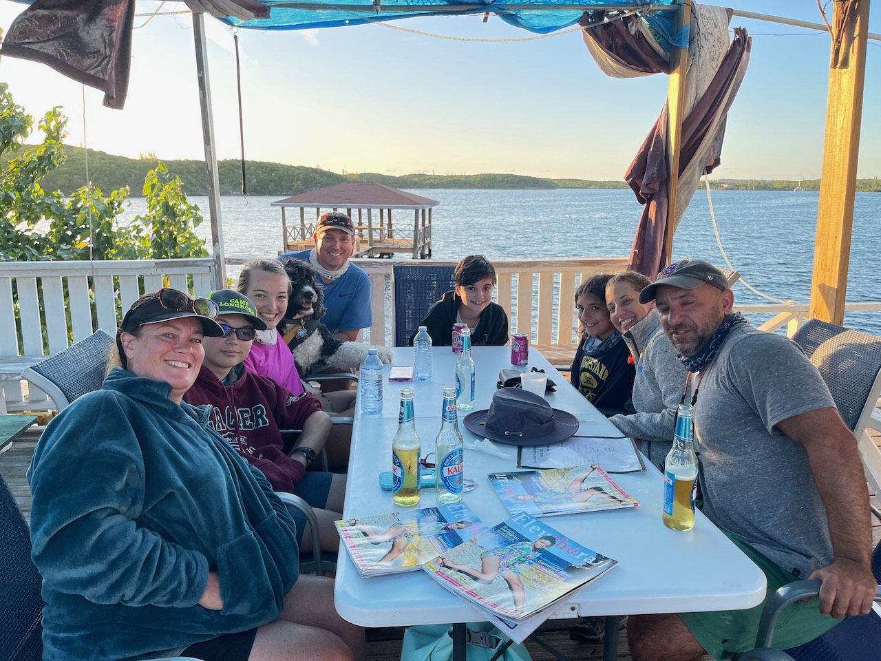
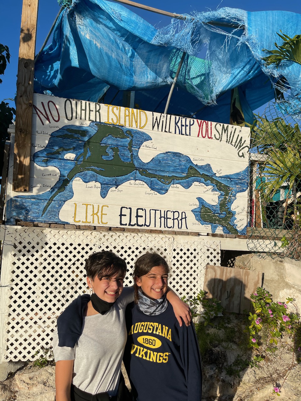
The surrounding village of Alice Town is quite poor and was heavily damaged by Hurricane Dorian. Much of the town remains in ruins. That Covid effectively tightened the “hose clamps” on the flow of American tourist dollars into the country since May certainly hasn’t helped. Frankly, we were happy to pay our bill, and more, just to get some money into their pockets.
Hatchet Bay to Governor’s Harbor
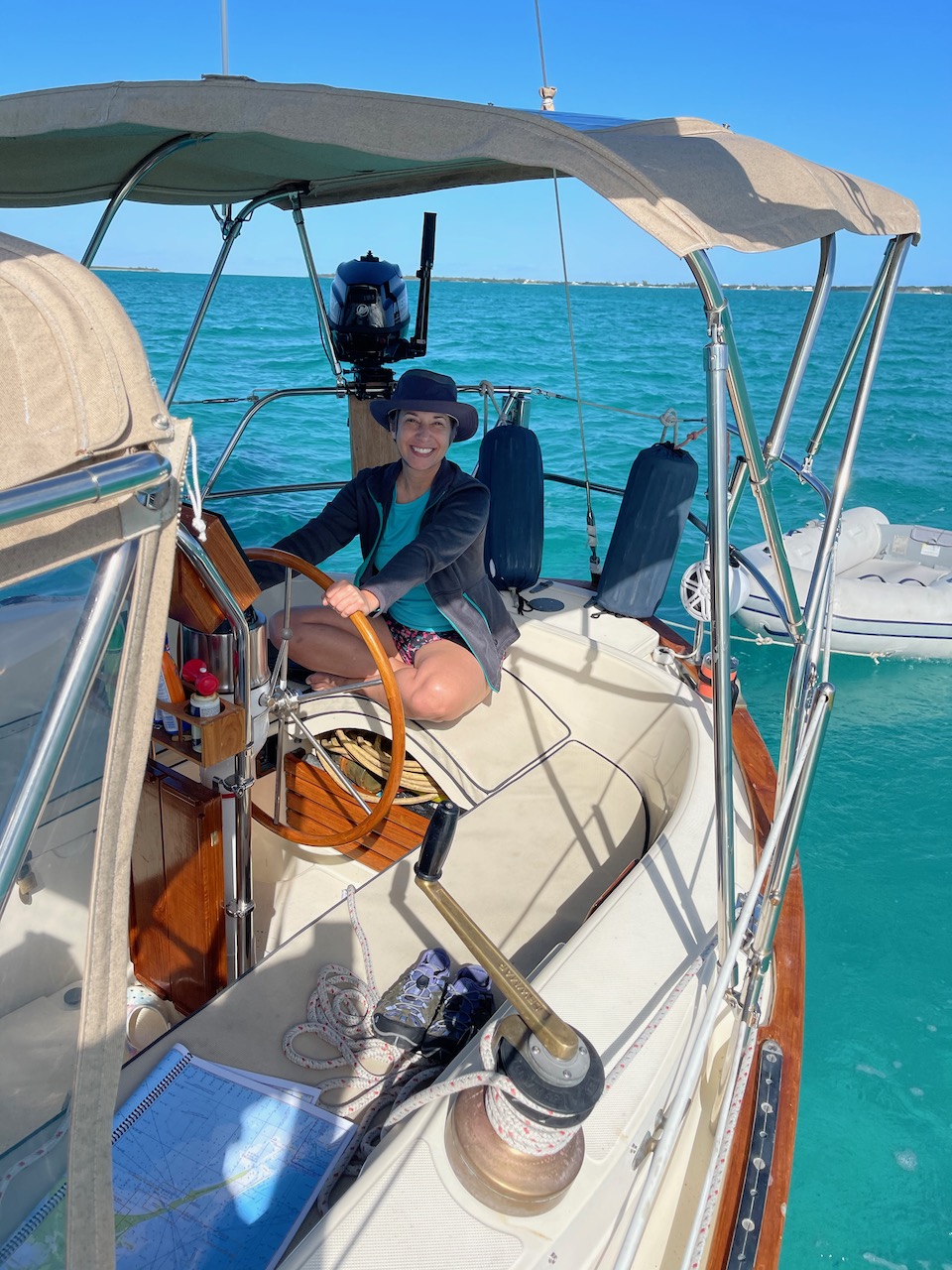
Looking to avoid a “norther” forecasted to arrive in the Northern Bahamas by Friday morning, we left Hatchet Bay the following day. On a dying breeze, we motor-sailed a short leg of 17 nm before making landfall in Governor’s Harbor, between Cupids Cay and Laughing Bird Cay. We dropped the anchor at about 230 and again, dinghied into shore to check out the town.
Comparatively, Governor’s Harbor either fared well against Hurricane Dorian, or enjoyed better coordination of resources for post-hurricane cleanup. My money is on the latter. It is a lovely, well-maintained village with some small family-owned shops, a decent grocery store and access to ATMs.
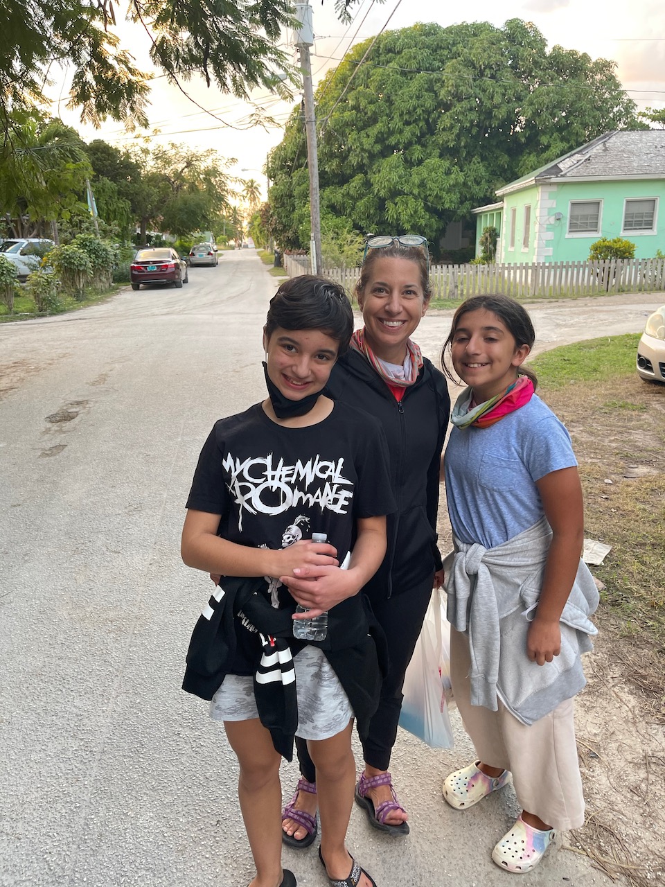
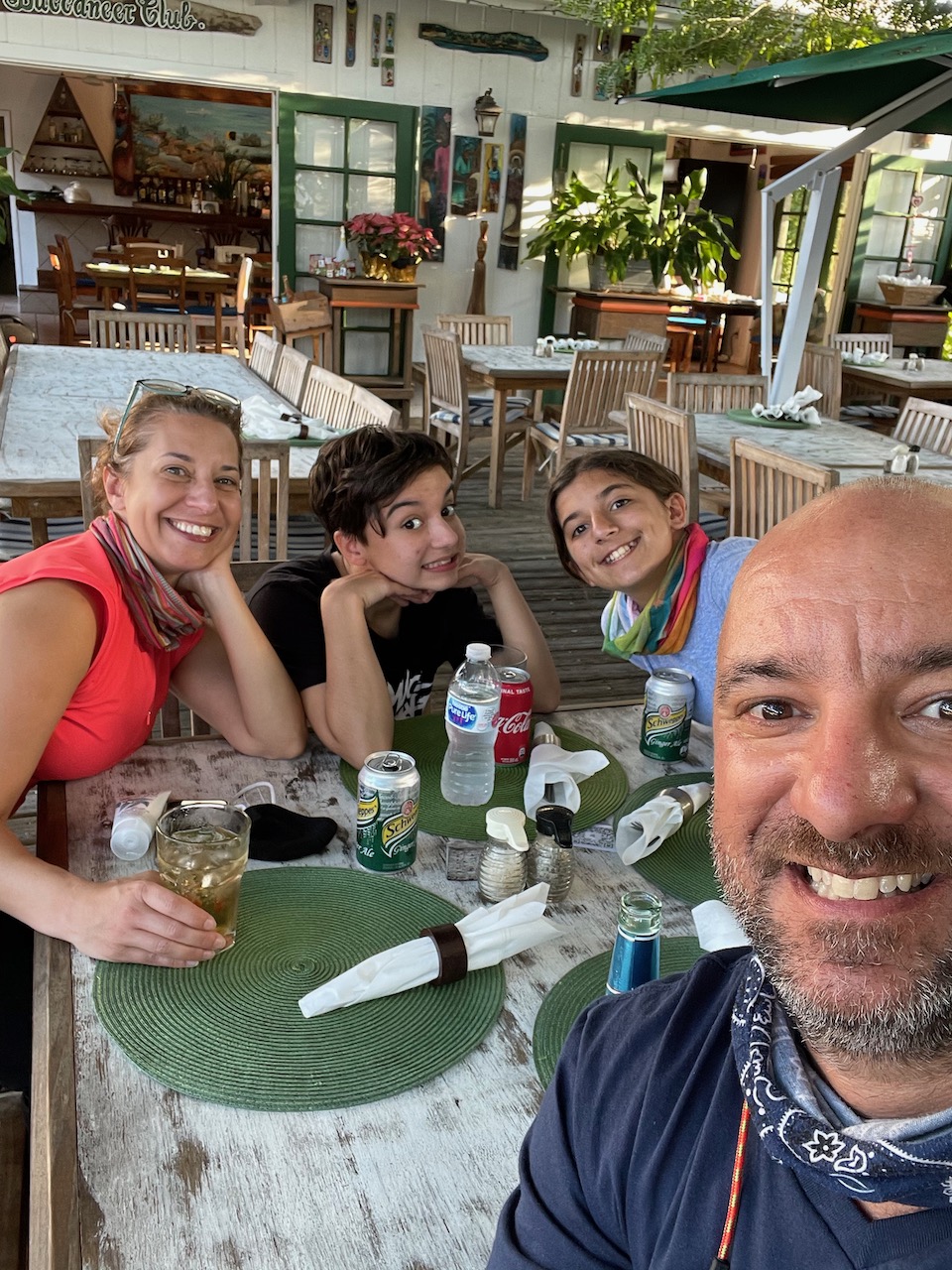
We wandered the town, finding a nice little restaurant called Buccaneers, and a beautiful Marriott resort, flaunting greater comfort than those available on the OG. But, back to the boat we went, to the dismay of the kids.
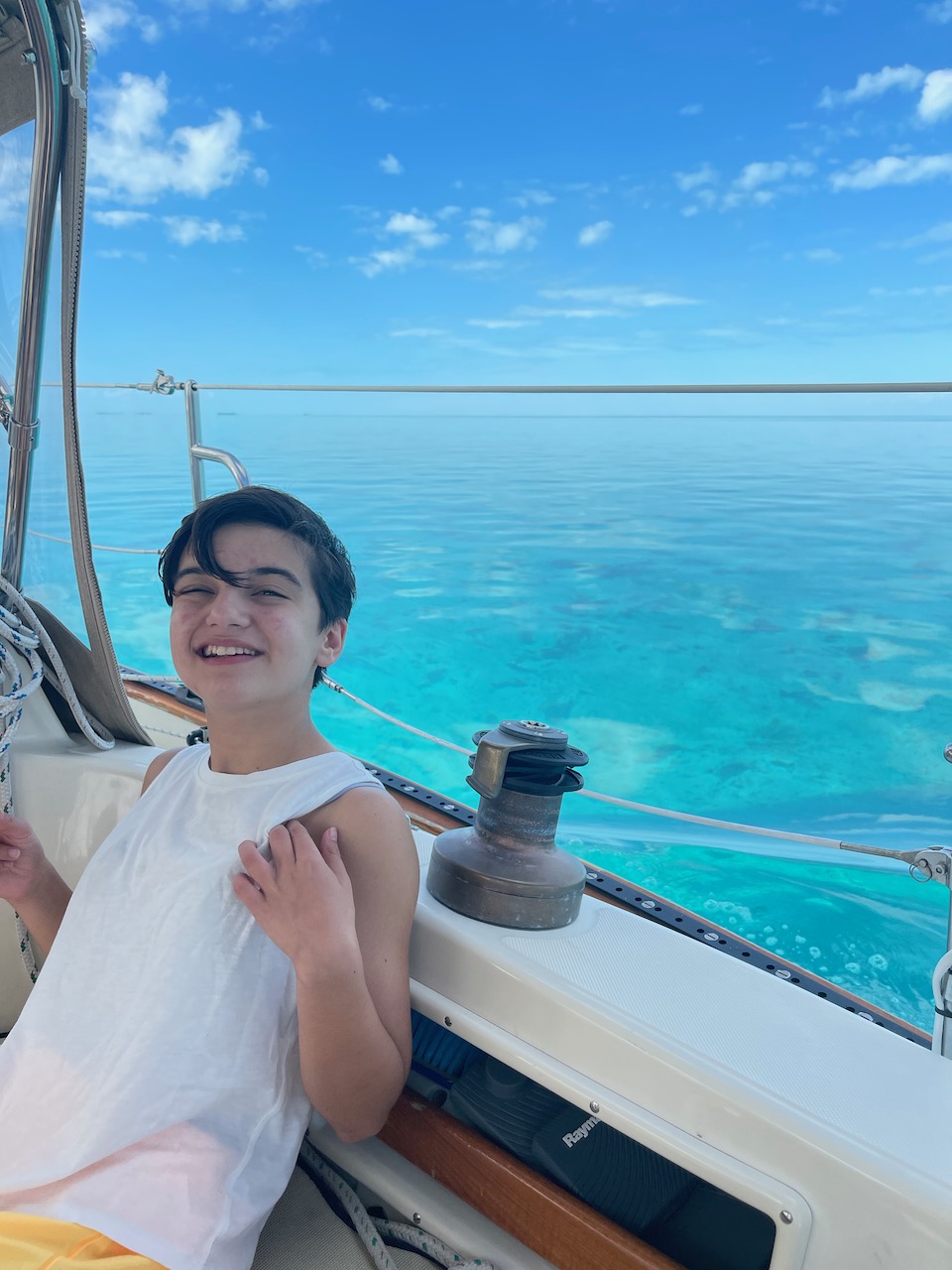
We spent the night with a gentle off-shore breeze, swinging on anchor. Dinner consisted of lobster salad, making use of the single ocean bug I speared three days earlier. We finished the evening watching “Tangled” in the cabin, with Joy sawing logs by 2100.
Governor’s Harbor to Cape Eleuthera
Our final leg of down Eleuthera stretched from Governors Harbor to Kemps Point, to Powell Point, and then finally making landfall at Cape Eleuthera. It was only 25 nm, but after 3 days of sailing, it felt like several times that distance.
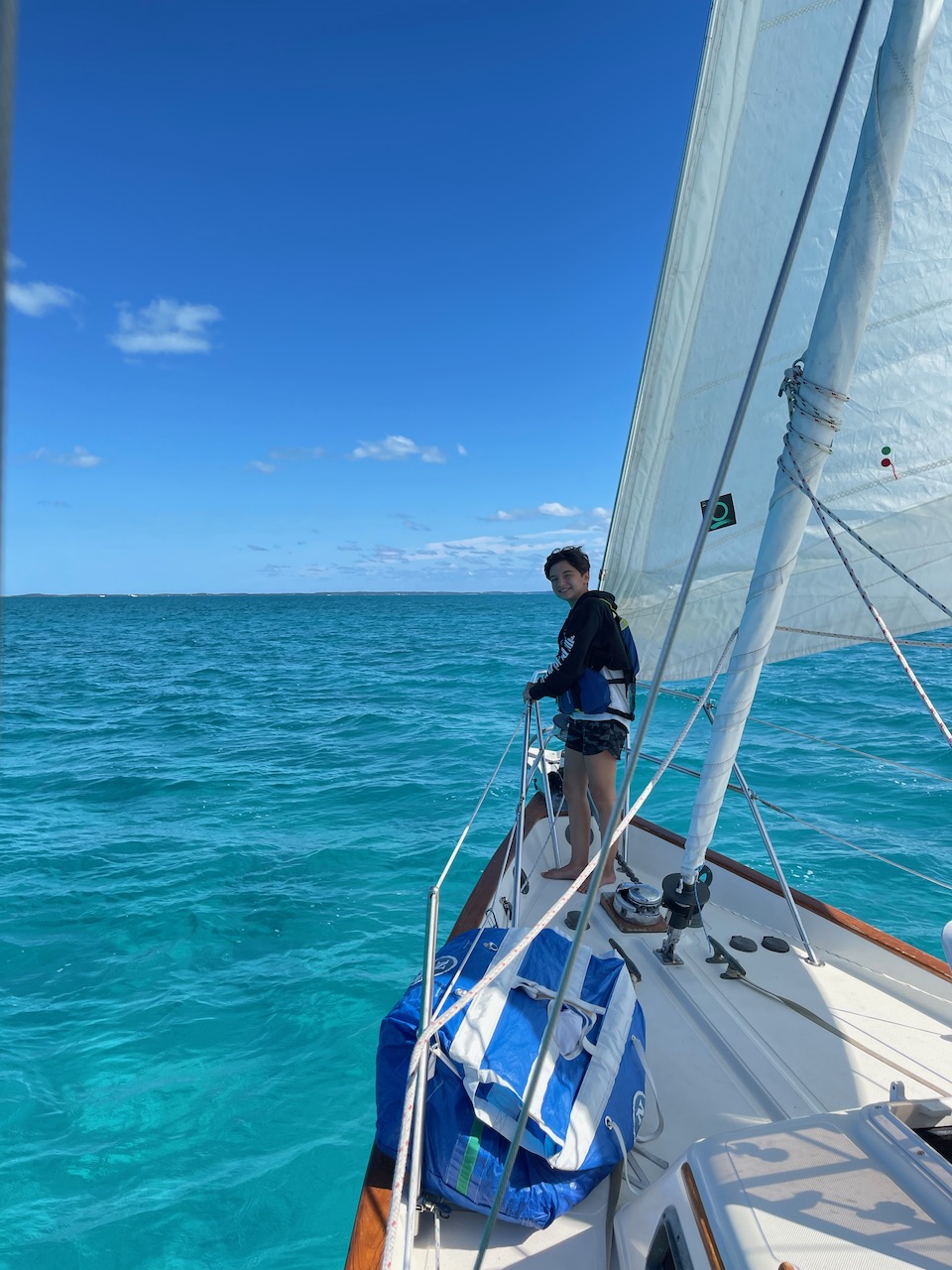
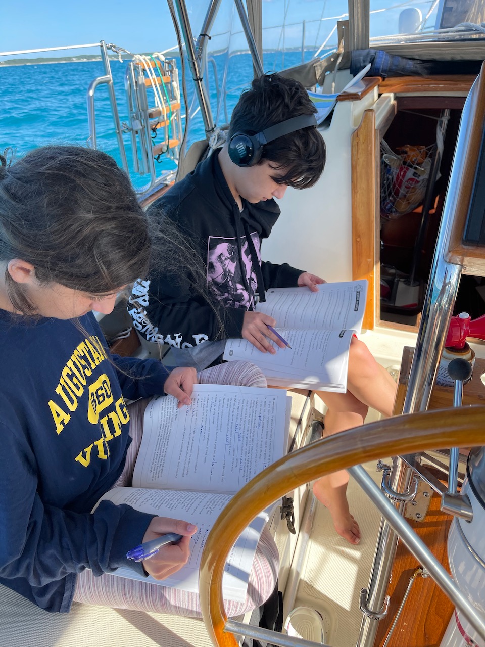
The day started with a modest northwest breeze, which died about 5 nm into the passage. Becalmed, yet making way, we pressed on and forced the kids to make use of the time and flat conditions.
It was not long before we were greeted by a large pod of dolphins, playing in our bow wake. Spotting dolphins from the bow is something I doubt will ever get old. Each time, they’re met with screams of excitement from the kids and their parents. “Best day ever!” screamed the teenager. We will surely miss that in Lake Michigan.
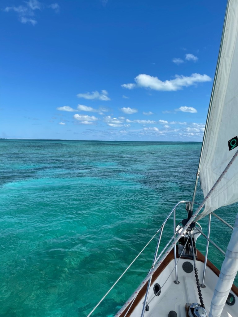
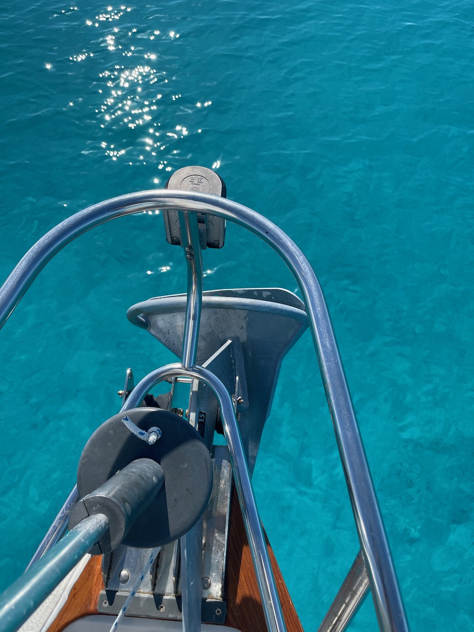
It was a long motor-sail southeast towards the tip of Eleuthera Island. Once at Kemps Point, which marks the north entrance to Davis Channel, we took a hard right turn to avoid the shifting sandbanks of the “Bight of Eleuthera.” With eyes glued to the depth sounder, we navigated the shallows by eyesight, no longer trusting our charts. The colors were spectacular.
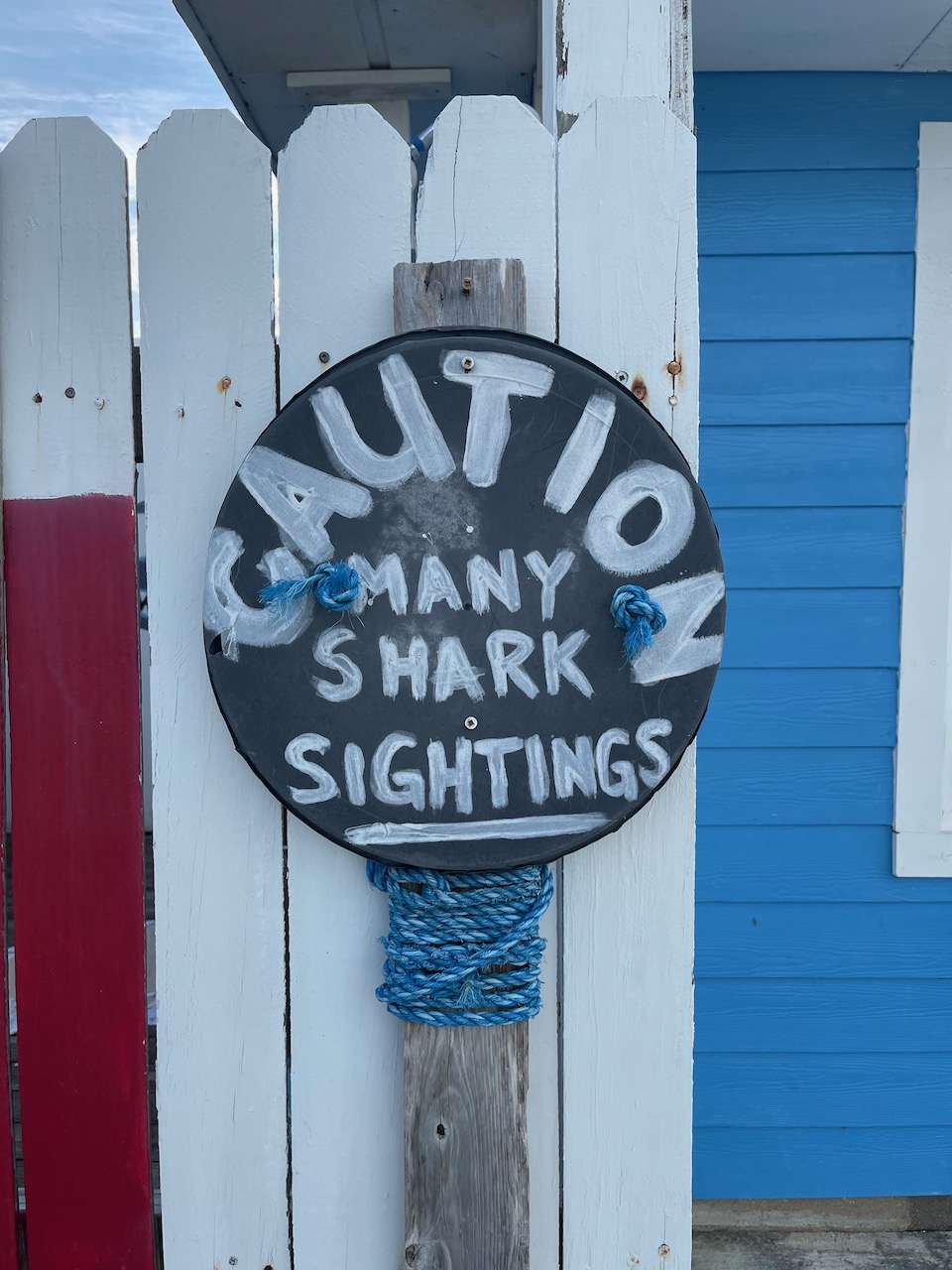
We finally made landfall at 1530 and promptly caved to the kids’ request to spend the next few days in a nice marina, with showers and WiFi. In truth, with a norther on the immediate horizon, it wasn’t a difficult decision. Just need to keep an eye out for the marina bull sharks.
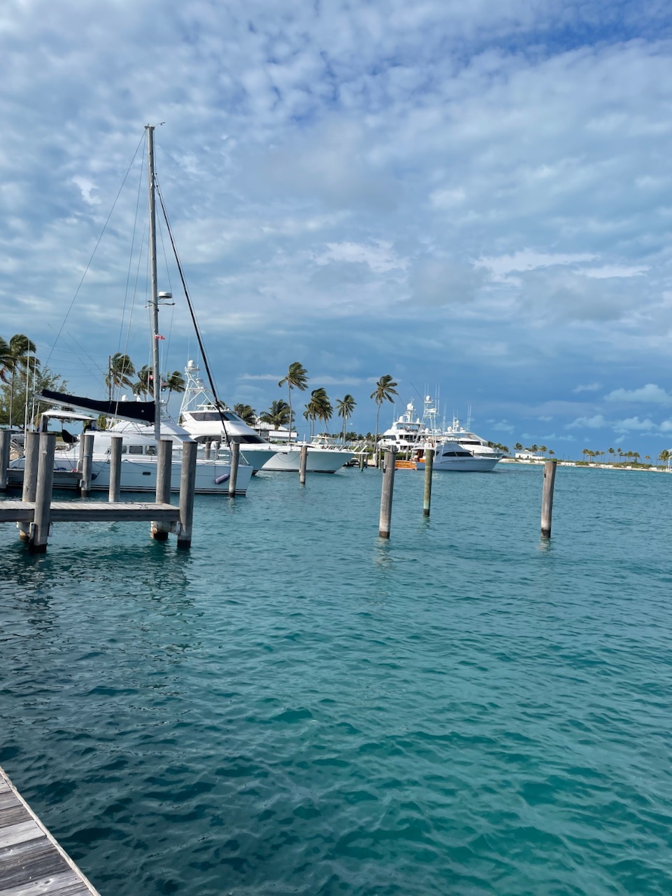

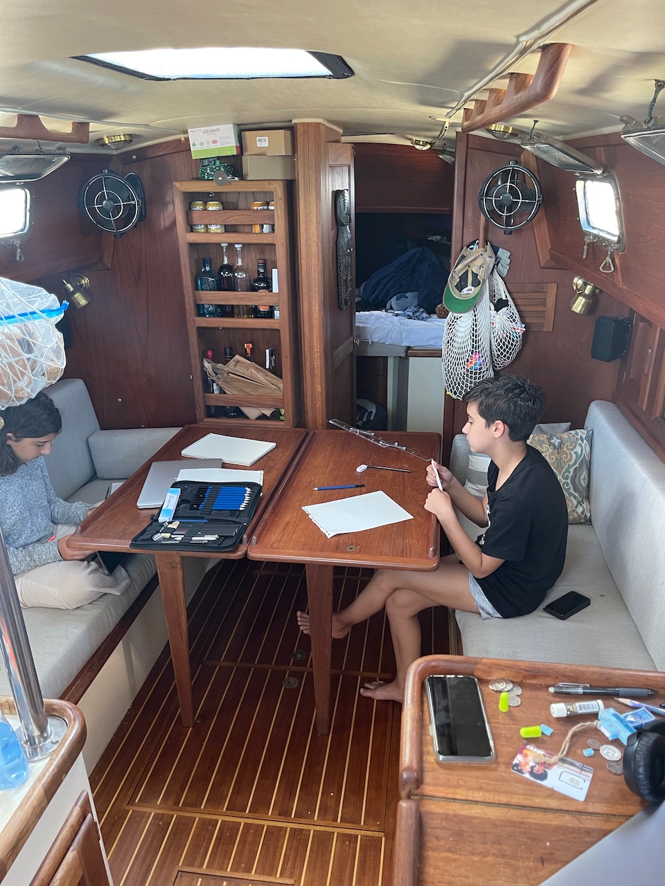
We’ll stay here for a few days, catch up on school work and weigh our options after the front passes.

9.5 knts on river rapids? I would’ve given my left nut for 9.5 knts while Flynn and I were basically paddling to Nassau.
LikeLike
What a great trip and an amazing adventure. Thanks so much for taking us along with you. I keep thinking that the kids may not appreciate this sufficiently now, but as they grow older, will have an incredible experience to share and learn from. Have a great time.
LikeLike